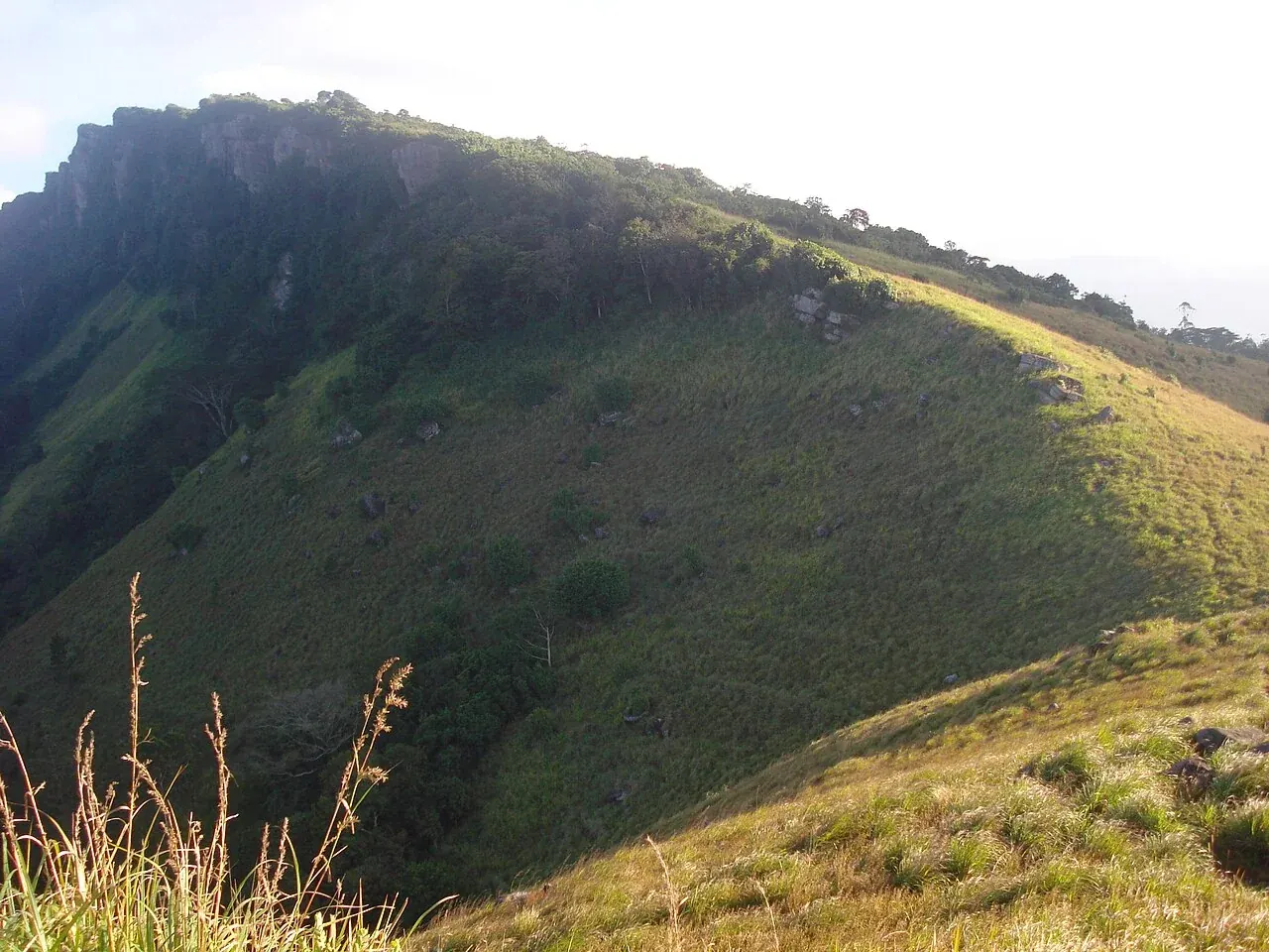
Kandy-area stages
Ridges above Kandy introduce a tea-country walking landscape close to the city. Compare official stages around the Kandy area and confirm status, distance and transfer arrangements.
Destinations / Hill Country · Highlands / Nature / Adventure
Long-distance walking through tea country and mountain villages.
HILL COUNTRY / HIGHLANDS / NATURE / ADVENTURE
The Pekoe Trail is a long-distance walking route through the central highlands. Most short-stay visitors will enjoy selected stages rather than attempting the whole trail.
Stay lengths and visit plans are Lankaora editorial suggestions. Adjust them to your interests, access and onward route.
HISTORY & CHARACTER
The route connects tea-country landscapes and communities across the hills. Its staged format turns existing paths and settlements into a walking journey, with access depending on permissions and current trail conditions.
Background: The Pekoe Trail Organisation.
PLACES & LANDSCAPES
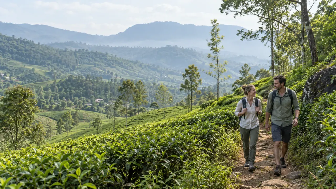
Nearby outings are labelled separately. They may need their own transfer, ticket or guide; they are not all inside Pekoe Trail. Check current access before travelling.
Ridges above Kandy introduce a tea-country walking landscape close to the city. Compare official stages around the Kandy area and confirm status, distance and transfer arrangements.
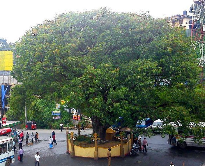
Choose a stage for your ability and current access, respecting working estates and any restricted hours.
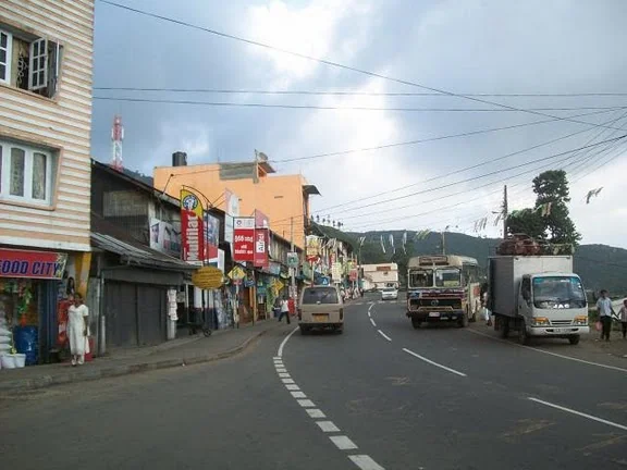
A ridge-top town looks across tea-covered slopes and changing banks of cloud. Use a nearby overnight base so you can start and finish without a long transfer.
Plan an authorised trail day separately from popular viewpoint walks; they are not interchangeable routes.
EXPERIENCE THE PLACE
Local guidance can connect navigation, landscape and community life.
Choose accommodation around your stage endpoints rather than only familiar town names.
Use locally hosted meals and services with respect for workplaces and homes.
PLAN YOUR VISIT
These are flexible visit ideas, not a booked tour or live schedule. Keep arrival, departure and weather-dependent days lighter.
Reach your stage-area base, obtain the appropriate pass and confirm live status, guide, route and pickup. Take only a short authorised walk if planned.
Walk one selected open stage with a clear turnaround and finish transfer, leaving the evening for rest.
PRACTICAL PLANNING
Check the official status page close to departure; published stage descriptions do not guarantee access.
Obtain the official trail pass and confirm additional permits, private-land conditions and stage hours.
Use official maps and current advice; organise water, weather gear, guide and end-of-stage transport.
Visitor information: Official stages & passes · Live trail status · Sri Lanka Tourism. Check current access, tickets and operating arrangements for your actual dates.
CONNECT YOUR JOURNEY
These are onward ideas, not a promise of short transfers. Compare actual road routes and allow a travel buffer.
MAKE IT YOUR JOURNEY
Add this place to your draft, then adjust your interests, time and pace.
Guide reviewed: . Visit plans and suggested stays are editorial estimates.
Visitor resources: Official stages & passes · Live trail status · Sri Lanka Tourism.
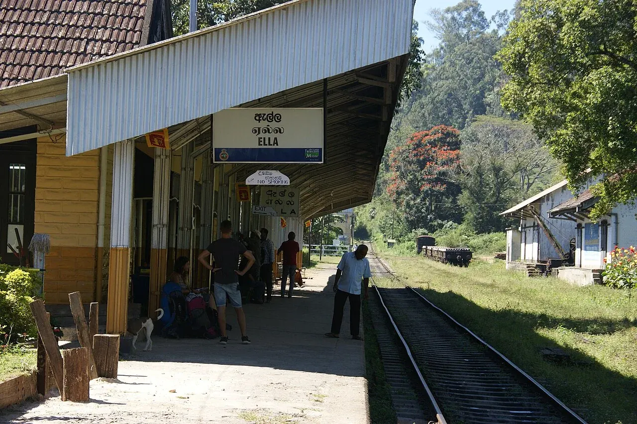
Hanthana Mountain Range · Hatton, Sri Lanka · Haputale · Ella, Sri Lanka
Hanthana Mountain Range — Astronomyinertia · Original photograph · CC BY-SA 3.0. Displayed resized or cropped.
Hatton, Sri Lanka — DOOFILMS s.prasath photography · Original photograph · CC BY-SA 3.0. Displayed resized or cropped.
Haputale — Kapidis (talk). The original uploader was Kapidis at English Wikipedia. · Original photograph · CC BY-SA 3.0. Displayed resized or cropped.
Ella, Sri Lanka — Dan arndt · Original photograph · CC BY-SA 4.0. Displayed resized or cropped.
Destination cover: source and licence.


